
ShadowBroker Lets AI Agents Monitor 60+ Live Global Intelligence Feeds
ShadowBroker is a self-hosted OSINT dashboard that unifies 60+ real-time intelligence feeds — flights, satellites, CCTV, SAR imagery, and more — into one map, now with an AI agent API
Takeaways
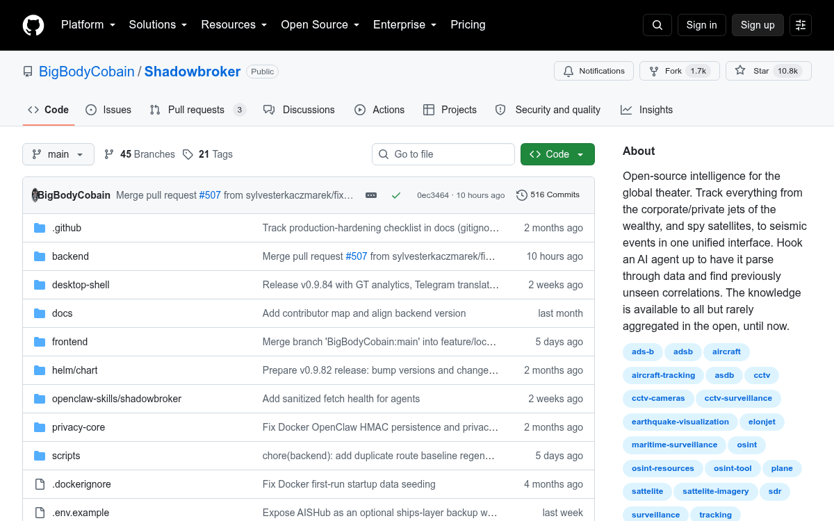
- ShadowBroker is a free, self-hosted OSINT dashboard aggregating 60+ real-time feeds (flights, ships, satellites, CCTV, SAR, scanners) into one map — 9.1k GitHub stars
- v0.9.7 adds an HMAC-signed AI agent API letting Claude, GPT, or any LLM agent query all 35+ data layers, place map pins, and control the operator's view programmatically
- SAR ground-change detection (new) detects mm-scale ground deformation, floods, and blast craters through cloud cover using NASA OPERA and Copernicus EGMS — free with a NASA Earthdata account
- Time Machine feature lets you pause, scrub, and replay the entire telemetry feed with frame interpolation, stored locally on your backend
- InfoNet is an experimental decentralized mesh communication layer built into the tool — messages are obfuscated but NOT end-to-end encrypted; treat all channels as public for now
- Runs via
docker compose up -d; most layers work without API keys, though OpenSky and aisstream.io keys (both free) are needed for full flight and ship coverage
ShadowBroker is an open-source, self-hosted geospatial intelligence platform that pulls 60+ live data feeds into a single dark-ops map interface. Aircraft positions, maritime traffic, spy satellites, GPS jamming zones, 11,000+ CCTV cameras, earthquake alerts, conflict events, police scanners, and SAR (Synthetic Aperture Radar) ground-change detection , all on one screen, updating in real time. The repo has crossed 9,100 GitHub stars with 1,400+ forks, and the latest release, v0.9.7, adds an AI agent command channel that lets any LLM-driven agent read and write to the entire intelligence surface.
The problem it actually solves
A surprising amount of global telemetry is already public. ADS-B transponders broadcast aircraft positions. Ships transmit AIS signals. Satellites publish orbital data. NASA publishes fire hotspots every few minutes. The problem is that this data lives across dozens of separate tools, APIs, and websites. ShadowBroker's core value proposition is aggregation: one self-hosted backend, one map, everything cross-referenced automatically.
The project explicitly does not introduce new surveillance capabilities. It only aggregates existing public datasets, and because it's fully open-source, you can audit exactly which endpoints it calls and what data flows where.
What's on the map
The 37 independently toggleable data layers cover a remarkable range of domains:
- Aviation: 5,000+ commercial flights via OpenSky, military aircraft (tankers, ISR, fighters) via adsb.lol, private jets with owner identification, Air Force One with dedicated highlighting, GPS jamming zones derived from aircraft transponder accuracy degradation, and holding pattern detection
- Maritime: 25,000+ AIS vessels in real time, billionaire superyachts, all 11 US Navy aircraft carriers with OSINT-estimated positions (using automated GDELT news scraping , the README claims no other open tool does this), and Global Fishing Watch vessel events
- Space: 2,000+ active satellites tracked in real time using TLE orbital data and SGP4 propagation (a standard physics model for predicting satellite positions), color-coded by mission type , military recon in red, SIGINT in white, early warning in magenta
- Ground intelligence: 11,000+ live CCTV cameras across 6 countries (London, NYC, California, Spain, Singapore, and more), 35,000+ global power plants, 2,000+ data centers, and global military base locations
- Environmental: USGS earthquakes, NASA FIRMS fire hotspots, Smithsonian volcano data, severe weather polygons, and air quality readings
- Signals: 500+ KiwiSDR public radio receivers you can tune into directly from the dashboard, police scanner feeds via OpenMHZ, Meshtastic mesh radio nodes, and APRS amateur radio positions
The SAR layer is the sleeper feature
SAR , Synthetic Aperture Radar , is radar imaging from satellites that can see through clouds and darkness. Unlike optical cameras, SAR detects changes in ground surface by comparing radar returns over time, down to millimeter-scale deformation. ShadowBroker v0.9.7 adds a full SAR ground-change detection layer with two modes: